»
Reference list
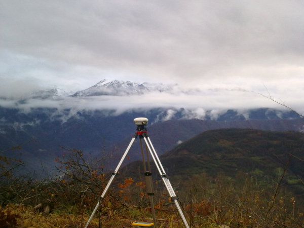
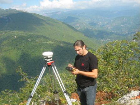
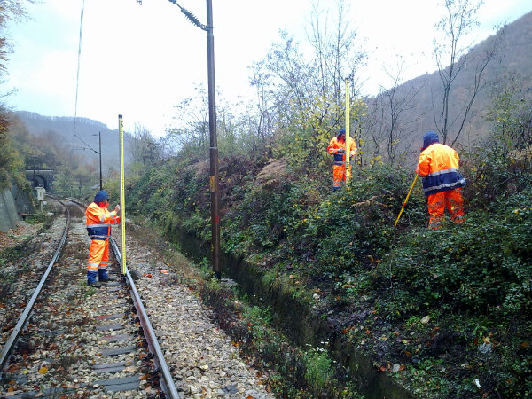
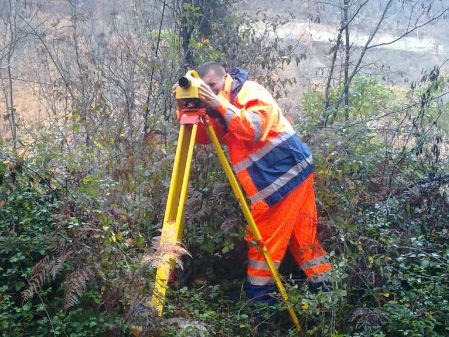
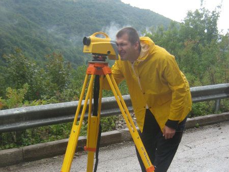
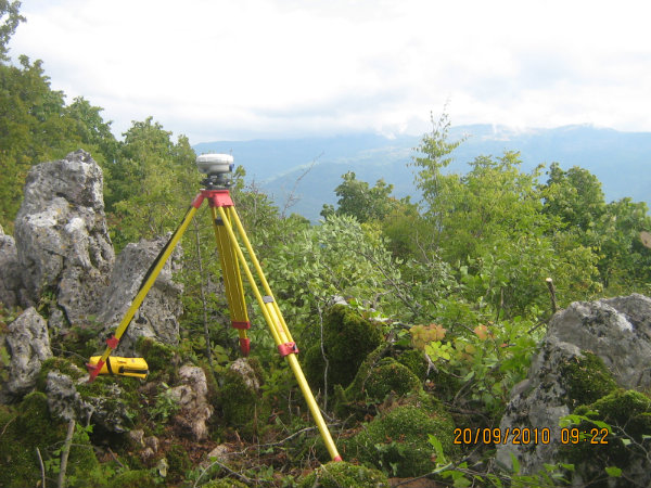
Technical observation of Kukovi landslide, geodetic works include: stabilisation of new designed geodetic points on given profiles, accross the depth of sliding slope - 18 points and 6 additional points; geodetic survey of landslide points by GPS method with centralized base on oscultational pillar with fast static method, measuring interval on every point 30 to 45 minutes; geodetic observation of landslide points by geometric level method, with invar rods next to the railway existing benchmarks, stabilized in walls of entrance and exit portals and oscultational points stabilized as concrete marks; geodetic observation on landslide points by polygonometric method from oscultation point accross the Jablanica road, named as base1 with orientation on the point of oscultation pillar next to the railway, named as base2; after the measurement - accurracy assesment of common points for GPS measurements and geometric levels, GPS measurements and polygonometry, and for all three methods, making periodic report, making final geodetic elaborate with summary review of two year measurment results.


