Skip to content
Home
About us
Services
Engineering geodesy
Flooring
Cadastre
Aerial photogrammetry
3D laser scanning
Cartography
Observation technique
Hydrographic surveys
Professional geodetic supervision
Establishment of a geodetic network
Products
Trimble
GNSS recievers
Total stations
Laser scanner
Digital levels
Controllers
Surveying accessories, markers and markers
Maps
Projects
Our team
Contact us
BA
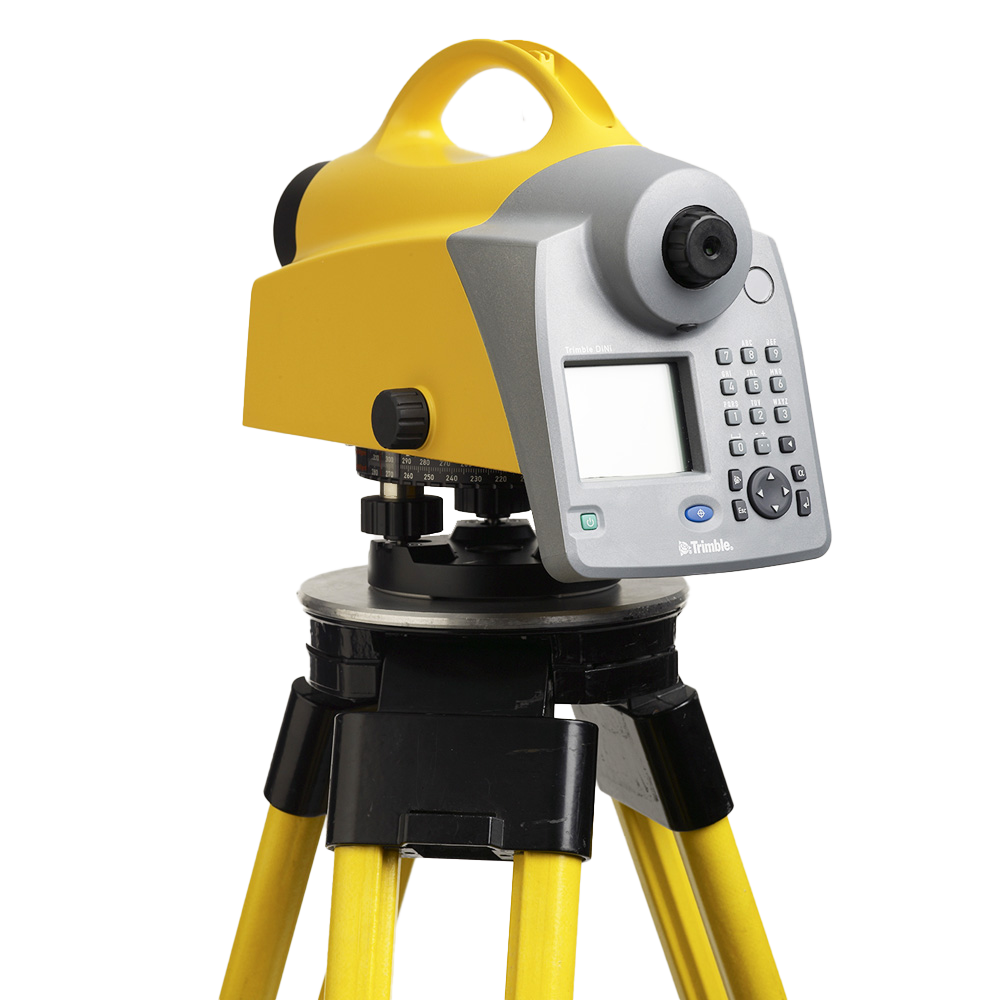
Digital levels
Level - digital DiNi
Read more
For more information about products and prices, contact us:
Envelope
Facebook
Instagram
Linkedin
Whatsapp